
Frequently asked questions
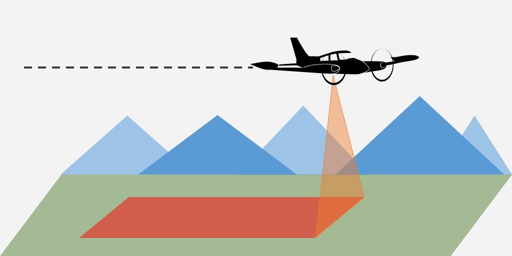
What is Lidar?
LiDAR stands for Light Detection and Ranging. It is a remote sensing technology that uses laser impulses for measurement.
Why not use drones?
Planes can cover hundreds or even thousands of miles in a single flights, making them ideal for inspection long pipeline networks. Additionally, planes can carry larger and more advanced detection sensors while flying at higher speeds, making them more time-efficient.
Does lidar meet city, state, or federal requirements for LDAr?
The EPA has expanded LDAR requirements for methane emissions under the Clean Air Act. Advanced detection technologies, including aerial LiDAR, can be used if they meet alternative emissions monitoring standards. LiDAR is increasingly being used to meet integrity management and leak detection requirements.
Can VVA provide aerial services without methane detection?
Yes! Our aircrafts offer customers the ability to cover large distance quickly. Planes can inspect hundreds of miles in a single flight, reducing the time needed for ROW monitoring compared to ground inspections. Aerial inspections can easily reach locations that are difficult or impossible to access by ground crews.
Where does vva fly?
We currently offer services across the southwest including: Texas, New Mexico, Oklahoma, and Louisiana.